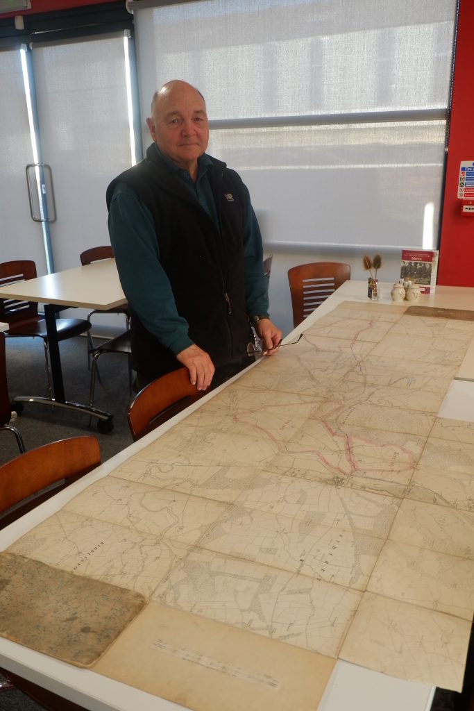
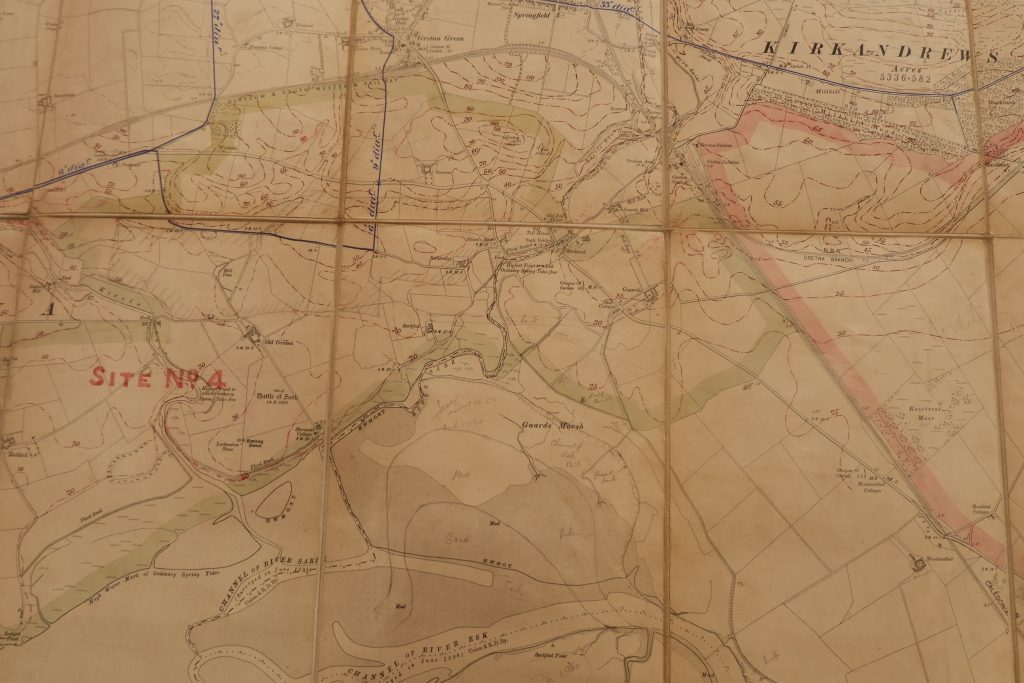
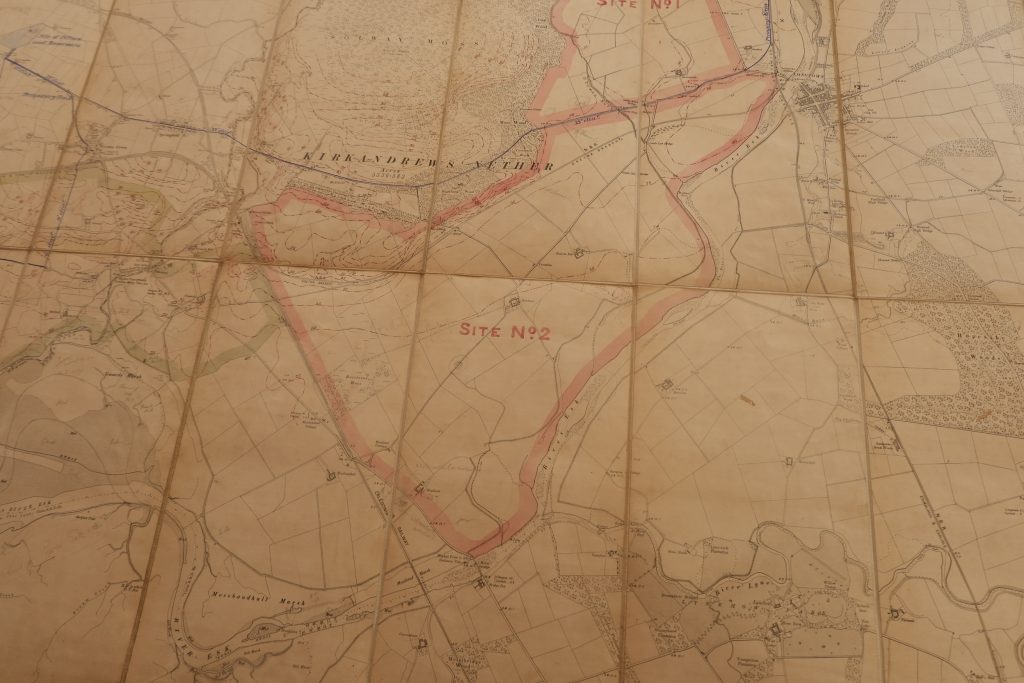
A local gentleman visited the Museum the other day to share some wonderful items with us. He has a map of the local area (stretching from Dornock to Longtown). It appears to be an ordnance survey map from 1898 and on it someone has drawn plans for HM Factory Gretna (the greatest munitions factory on earth during World War One, The Devils Porridge tells it story and the story of the 30,000 workers, 12,000 of whom were women). You can clearly see the Factory sites 1-4 labelled on the map and contours have been drawn on the main intended Factory locations as an aid for planning. Two townships were built for the Factory (Gretna and Eastriggs) and neither appears on the map – there are just open fields and farms – as they weren’t constructed until after 1915. It is quite strange to see a map without these two significant local towns on it. The map also shows plans for a temporary pumping station and the pipelines that would be built for the movement of millions of gallons of water used by the Factory each day. Fascinating stuff and amazing to see a glimpse into the planning of the construction of the Factory.
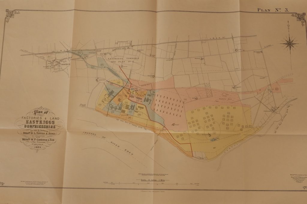
Our visitor also brought in an auction catalogue from 1924. At the end of the war, the Factory plant, site and the houses in the townships were auctioned off and this catalogue was produced (we have one on display in the Museum). What was particularly interesting about this gentleman’s copy of the Auction Book was that it had all five maps inside it (and they were in excellent condition). We have some of the maps but not all of them so it was really interesting to see all the maps together.
We are very grateful to this gentleman for sharing these documents with us and for letting us take photographs of the items in question for our records.
This website uses cookies to improve your experience. We'll assume you're ok with this, but you can opt-out if you wish.AcceptRead More
Privacy & Cookies Policy
Privacy Overview
This website uses cookies to improve your experience while you navigate through the website. Out of these cookies, the cookies that are categorized as necessary are stored on your browser as they are essential for the working of basic functionalities of the website. We also use third-party cookies that help us analyze and understand how you use this website. These cookies will be stored in your browser only with your consent. You also have the option to opt-out of these cookies. But opting out of some of these cookies may have an effect on your browsing experience.
Necessary cookies are absolutely essential for the website to function properly. This category only includes cookies that ensures basic functionalities and security features of the website. These cookies do not store any personal information.
Any cookies that may not be particularly necessary for the website to function and is used specifically to collect user personal data via analytics, ads, other embedded contents are termed as non-necessary cookies. It is mandatory to procure user consent prior to running these cookies on your website.